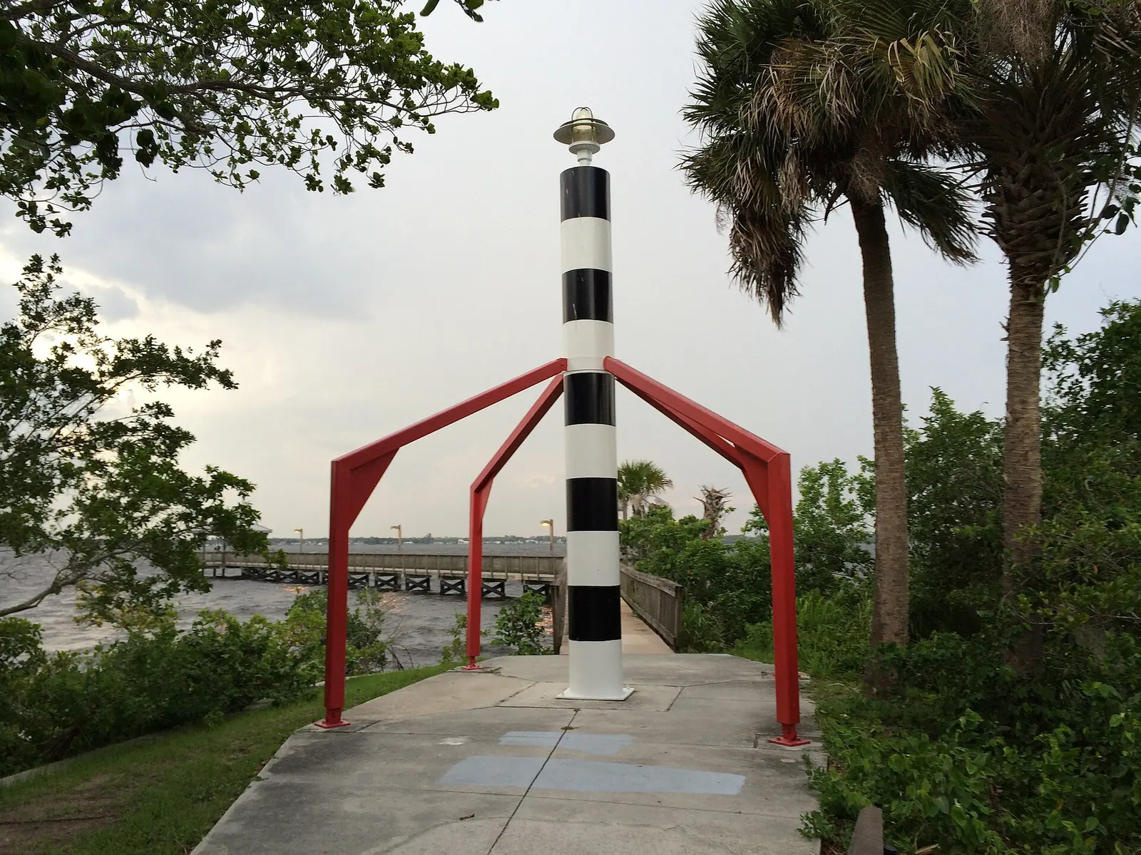
East Fort Myers runs along Palm Beach Boulevard between the river and Billy's Creek, mostly in ZIP 33916, in the East 1 high school subzone.
Last checked Oct. 8, 2026. Sources: the City of Fort Myers comprehensive plan and redevelopment plans and GIS open data (future land use, community redevelopment areas, historic districts, parks and address points), The School District of Lee County’s 2026-27 enrollment zones, the Florida Department of Education’s 2026 school grades, Zillow Research, LeeTran and OpenStreetMap.
East Fort Myers is the part of the city along Palm Beach Boulevard, east of downtown, with the Caloosahatchee River on one side and Billy’s Creek on the other. The city’s 2024 East Fort Myers Community Redevelopment Plan calls it “a district community made up of varied neighborhoods with historic ties to commerce,” located “midway between downtown Fort Myers and I-75.” It says Palm Beach Boulevard “connects I-75 with downtown Fort Myers” and that nearly all homes in the area are north and south of the boulevard.
In the city’s address data the area has 3,355 residential addresses, 55% of them single addresses and 45% apartment units.
What this means for you
- High school: the East 1 subzone, where families rank Dunbar, Gateway, Lehigh Senior and Riverdale high schools. Gateway High earned an A in Florida’s 2026 grades.
- Home value: $209,980 in ZIP 33916 in August 2026, according to the Zillow Home Value Index.
- Nearest I-75 exit: exit 141, Palm Beach Boulevard, about 3.4 miles by road.
Part of our Fort Myers neighborhoods guide.
Where it is
The plan’s boundary, which this page follows using the city’s mapped East Fort Myers redevelopment area, is the Caloosahatchee River on the north, Billy’s Creek on the south and west, and Prospect Avenue, the city limits, on the east. Homes east of Prospect Avenue with Fort Myers mailing addresses are in unincorporated Lee County, not the city. Dunbar is across Billy’s Creek to the south.
Two city landmarks on the historic inventory are here: 336 Van Buren Street and 3488 East Riverside Drive.
ZIP codes: 33916 for 86% of residential addresses, 33905 for 14%.
Schools
Lee County does not assign a school by street address alone. Under the district’s 2026-27 Student Enrollment Plan, families rank the schools in the zone their address falls in, and the district guarantees a seat, with bus service, at a school in that zone. Siblings and homes within 2 miles of a school get preference when a school fills. In the district’s 2026-27 zone layer, East Fort Myers is split at the elementary and middle levels:
| Level | Zone | Schools in the zone, with Florida’s 2026 grade |
|---|---|---|
| Elementary | D (57% of addresses) | The Alva School: B, James Stephens Community School: C, Manatee Elementary: C, Orange River Elementary: C, River Hall Elementary: B, Tice Elementary: C |
| Elementary | H (43%) | Allen Park Elementary: C, Edgewood Academy: C, Edison Park Creative and Expressive Arts: A, Franklin Park Elementary: C, Orangewood Elementary: B |
| Middle | JJ (61%) | Harns Marsh Middle: A, Oak Hammock Middle: C, Varsity Lakes Middle: C |
| Middle | EE (39%) | Fort Myers Middle: C, Paul Laurence Dunbar Middle: B |
| High | East 1 (all) | Dunbar High: C, Gateway High: A, Lehigh Senior High: C, Riverdale High: C |
Edgewood Academy, 3464 Edgewood Ave., is inside the area, from the federal school directory. Grades are from the Florida Department of Education; each name links to the school’s state report card. Because the area is split, check an address on the district’s School Enrollment Zones map. More in our schools guide.
Home values
The typical home value in ZIP 33916 was $209,980 in August 2026, down 6.3% from $224,173 in August 2025, according to the Zillow Home Value Index. In ZIP 33905 it was $281,518, down 4.5%. The index is a modeled typical value for the middle third of homes, single-family homes and condos together, not a sale price, and it covers each whole ZIP code, not just this area. Zillow’s figure for Fort Myers was $305,650, down 5.0% on the year. More in our home prices guide.
Parks and trails
From the city’s parks data, inside the area or at its edge:
- Riverside Park, 3061 E. Riverside Drive, about 4.4 acres on the river, with a pier.
- Tarpon Pier Park, East Riverside Drive.
- Shady Oaks Park, 3300 Marion St., about 32 acres.
- East Fort Myers Park, 3850 Seminole Ave., about 8.8 acres.
- Freemont Park, 1000 Freemont St.
- Billy Bowlegs Park, 951 Marsh Ave., and the Billy Bowlegs Filter Marsh, 4320 Woodside Ave., about 50 acres, on the Billy’s Creek side.
More in our parks and trails guide.
Getting around
- Interstate: I-75 exit 141, Palm Beach Boulevard (State Road 80), about 3.4 miles by road from the middle of the area; exit 139, Luckett Road, about 3.5 miles.
- City Hall (2200 Second St.): about 2.7 miles.
- Airport: about 13.0 miles to Southwest Florida International Airport.
- These are distances measured on the OpenStreetMap road network with the OSRM routing engine, not drive times.
- Bus: LeeTran’s current schedule data lists route 100 on First Street and Marsh Avenue, route 15 on Michigan Avenue, route 20 on Marsh Avenue and route 10 on Veronica S. Shoemaker Boulevard. Times are on LeeTran’s route pages.
More in our getting around guide.
Groceries and everyday stores
From OpenStreetMap, inside the area:
- Walgreens, 4202 Glenwood Ave.
OpenStreetMap lists no supermarket inside the area; map coverage of stores here may be incomplete.
How we drew this area
This page uses the East Fort Myers polygon on the City of Fort Myers community redevelopment areas layer, which matches the boundary in the city’s 2024 plan. Address counts, ZIP codes and school zones come from the city’s residential address points matched to The School District of Lee County’s 2026-27 enrollment zone layer on Oct. 8, 2026. Store and park locations and road distances use © OpenStreetMap contributors.
Frequently asked questions
Where is East Fort Myers?
Between downtown and I-75. The city’s 2024 redevelopment plan says it is bounded by the Caloosahatchee River on the north, Billy’s Creek on the south and west, and Prospect Avenue, the city limits, on the east. Palm Beach Boulevard runs through it.
What ZIP code is East Fort Myers?
Mostly 33916, with 14% of residential addresses in 33905. Zillow put the typical home value in 33916 at $209,980 in August 2026, down 6.3% on the year.
What high schools serve East Fort Myers?
Every address in the area is in the East 1 subzone, where families rank Dunbar, Gateway, Lehigh Senior and Riverdale high schools. Gateway High earned an A in Florida’s 2026 grades.
Is East Fort Myers a good place to live?
Here are the facts. The area has about 3,400 residential addresses, 55% of them single addresses, with river frontage, Riverside Park and its pier, Shady Oaks Park and Edgewood Academy inside it. It is about 2.7 miles by road from City Hall and 3.4 miles from I-75 exit 141.
Have your say